
NASA Develop
Sandhills Area Research Association Cover Crop Mapping Pilot Project
The Sandhills Area Research Association (SARA) is a farmer-founded and farmer-operated non-profit that supports the agricultural community through strategic collaborations and providing education opportunities.
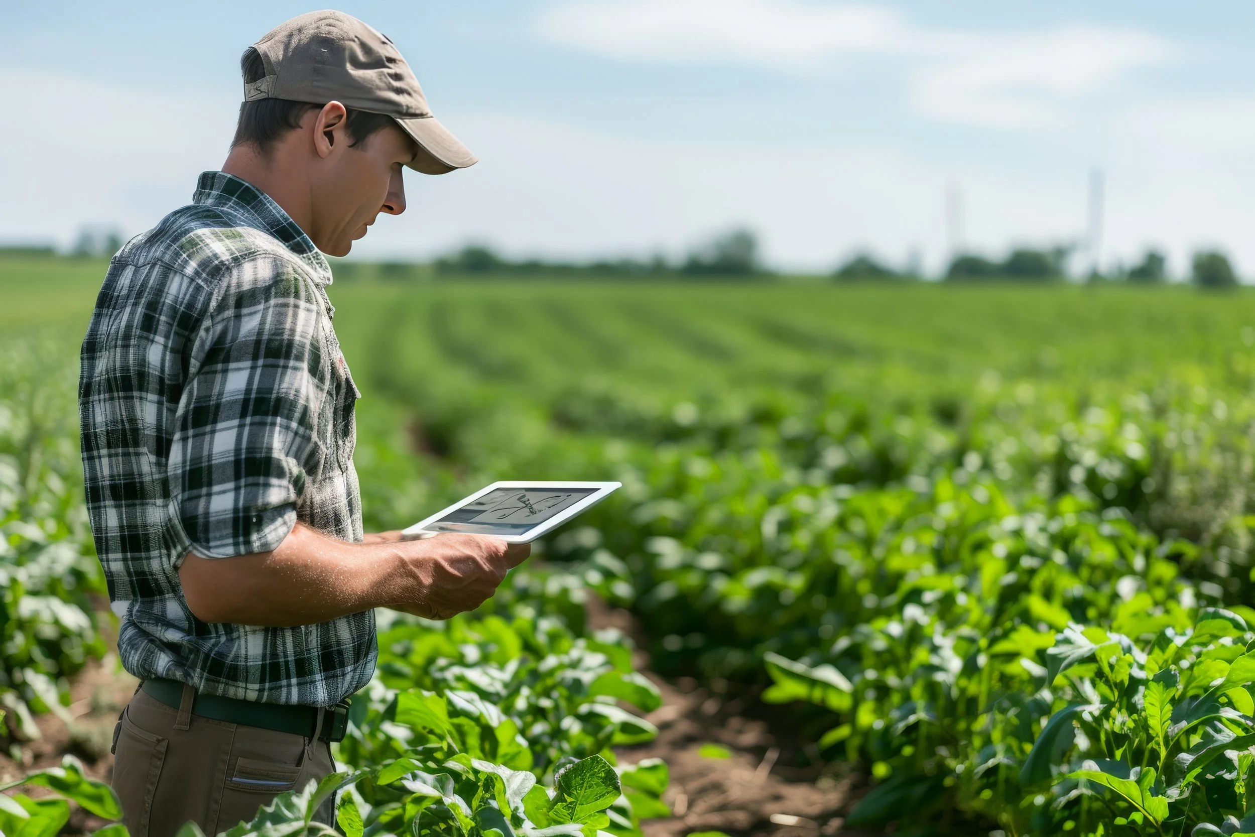
SARA is partnering with NASA DEVELOP, NASA Acres, and Colorado State University's Natural Resource Ecology Laboratory to explore the applications of satellite remote sensing data to support farming decisions. Specifically, a team of NASA DEVELOP interns will be attempting to map cover cropping since 2018 in several counties around Lubbock, Texas. Information about farming practices from farmers is critical to completing this mapping work. This form is designed to share details about this project and for SARA to collect these data from farmers.
The DEVELOP Program is a NASA Earth Science program that uses NASA satellite data to address land management issues. A team of four NASA interns will conduct a ten-week feasibility project investigating cover cropping mapping methods in this region to empower future assessments of cropping practices, address questions about cover cropping, and inform crop management practices. The results of this project will be shared at a virtual public presentation taking place the week of 11/17/2025 (exact date and time will be shared later). The team of four interns will engage with partners such as SARA, Bamert Seeds, Understanding Ag, and Texas A&M AgriLife and will be advised by scientists at Colorado State University, USGS, and the USDA Agricultural Research Service.
The team will be adapting a cover crop mapping approach developed for other regions to the counties around Lubbock. The method uses freely and publicly-available satellite data from throughout the year to map the likelihood that an area was under cover crops. Data from farmers of their farming practices will be used to determine the accuracy of this method and to refine the approach to perform better in this area. To do this, SARA is collecting data from a wide variety of fields across the region — different crop types, data from wet and dry years ranging from 2018-2025, and fields with and without cover crops. This variety and coverage across the landscape help to build better maps that reflect what’s truly happening on the ground.
How Your Data will be Stored, Used, and Shared
While this form is not a legally-binding document, we provide the following information to describe how we intend to use and manage the data.
Sharing your information is completely voluntary. Should you decide to share, SARA will be asking for information such as:
Information and Data We Are Collecting
- farmer name and email (optional - provide if you would like us to stay in contact about results from the work)
- field location (required)
- year (required)
- if cover crops were used (required)
- If cover crops were used, we will ask for information about the species used, the approximate planting and termination dates, and the termination method.
What Will We Use the Data For?
Your data will be used for two primary purposes: (1) to evaluate how well satellite methods to map the presence or absence of cover crops are performing and (2) improve the methods used to map the presence or absence of cover cropping for fields in this region. The satellite data used in this project is free and open and is distinct from the agronomic data being provided in this form. The satellite data are subject to NASA's open data policy.
Who Sees Your Data?
The agronomic data for the fields you share will only be tied to the field location. It will be separated from your name or email address before being used for analysis.
SARA will share the data with partners at NASA DEVELOP, USGS, USDA Agricultural Research Service, and Colorado State University, but your data will not be shared beyond these partners. Persons, departments, or divisions within these organizations but not directly associated with the project shall not have access to the raw data.
Data will not be be transferred to a regulatory government agency nor to NASA without express consent from you and your data will not be sold.
What About the Results?
The outcomes of the project may take several forms, including full-resolution map results, summarized findings, methods, and/or tools. Results will be presented in an aggregated and anonymous way to protect your information. Your data will not be used beyond this DEVELOP project and directly related follow-up work without additional consent from you. Your data will be retained until the completion of the project and for two years afterward for verification and follow up on project findings, after which point it will be deleted.
Results from this work will be shared by the DEVELOP team in a technical report, a poster, and a public presentation which we welcome you to join. Additionally, results may be shared beyond the DEVELOP term at conferences or other venues by the DEVELOP team or project partners. It is also possible that results from this analysis are part of a peer reviewed publication about cover crop mapping methods.
Can I Opt-Out After Sharing My Data?
You may at any point contact SARA to request your data be removed from this research without any question or punishment. However, farmer data that has already been compiled with other data and/or used in the project analysis and/or results cannot be deleted.
Questions or concerns about this project should be directed to Tillery Timmons-Sims (contact@sara-conservation.com).
See the following links for more information about the project partners:
SARA website: https://www.sara-conservation.com/
NASA DEVELOP website: https://appliedsciences.nasa.gov/what-we-do/capacity-building/develop
NASA Acres website: https://www.nasaacres.org/
NASA Acres FIAT website: https://www.nasaacres.org/fiat
SARA & NASA Acres Partnership: https://www.sara-conservation.com/nasa-acres
Colorado State University NREL: https://www.nrel.colostate.edu/